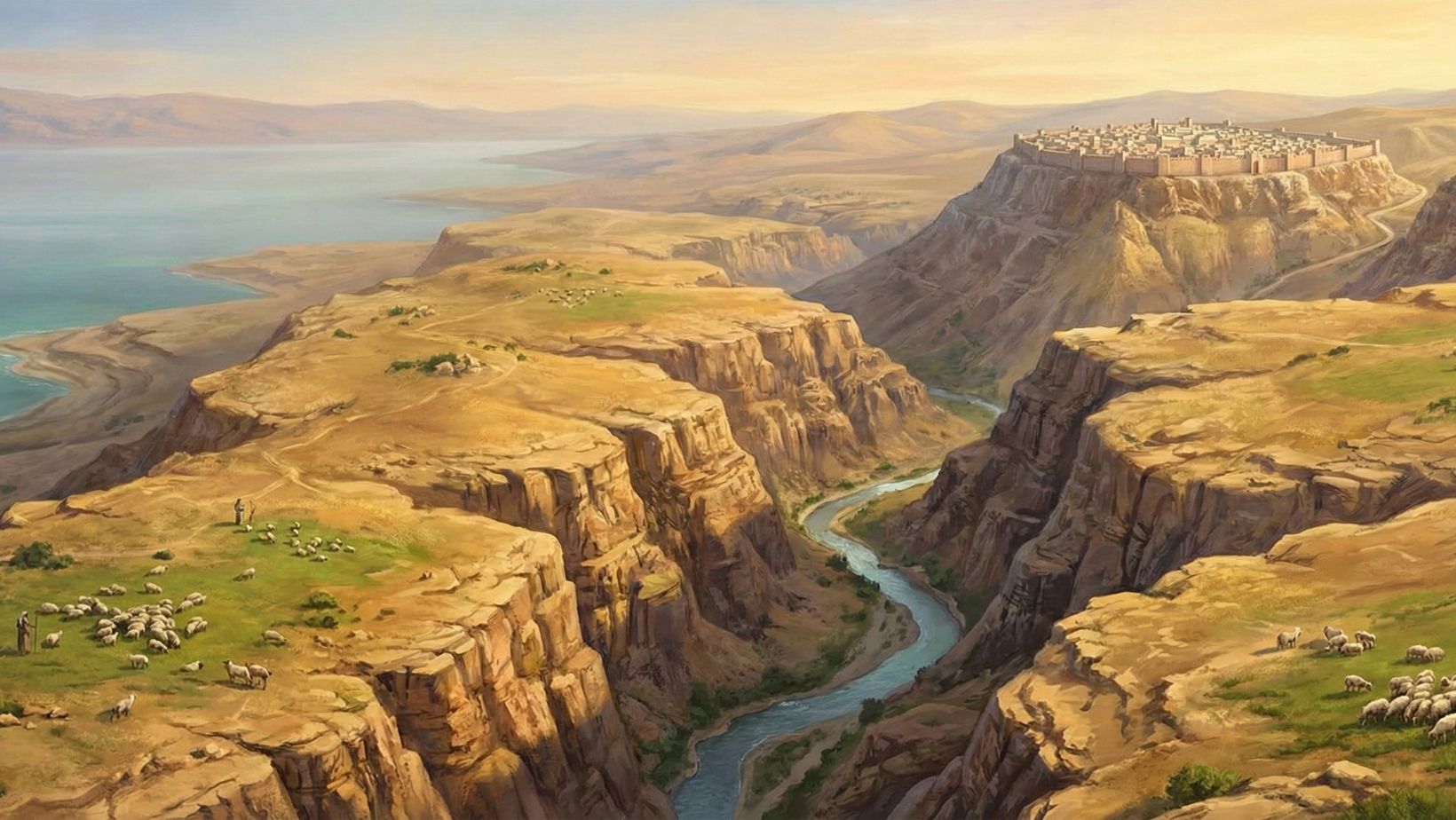
The region of Moab was a kingdom of significant geopolitical and spiritual importance in the biblical narrative. Geographically, it was a high, fertile limestone plateau located directly east of the Dead Sea, rising like a fortress wall above the Great Rift Valley. Known for its rich pasturelands, strategic location along the “King’s Highway,” and distinct reddish mountains, Moab served as both a temptation and a terror to Israel. It was the land where Moses died, where Ruth was born, and where the kings of Israel and Judah frequently waged war for control of trade routes and tribute.
- Region Name: Moab (Hebrew: Mo’av)
- Modern Location: West-central Jordan (Kerak and Madaba Governorates)
- Boundaries: North: Arnon River (mostly); South: Zered River; West: Dead Sea; East: Arabian Desert
- Geography: High tableland (plateau) ~3,000 ft above sea level
- Capital Cities: Dibon, Kir-Hareseth (Kerak), Ar of Moab
- Key Geographic Features: The Arnon Gorge (the “Grand Canyon” of the Middle East), Mount Nebo, Plains of Moab
- Primary Deity: Chemosh
- Biblical Role: The rich neighbor, the spiritual trap, the divine washbasin
Name & Etymology
“Moab” refers to both the patriarch (son of Lot) and the territory his descendants inhabited. The region is often referred to in Scripture as the “Fields of Moab” (Sedeh Mo’av) or the “Plains of Moab” (Arvot Mo’av), distinguishing the fertile agricultural plateau from the rugged canyons that surrounded it.
Geography & Landscape
The “Mishor” (The Tableland): The heart of Moab was a flat, fertile plateau perfect for grazing sheep and growing grain. This explains why it was a refuge for Elimelech during a famine in rocky Judah.
Natural Fortress: The region is naturally defended by massive geologic features.
- West: The sheer cliffs dropping down to the Dead Sea.
- North: The massive canyon of the Arnon River (Wadi Mujib), which often served as the border between Moab and the Israelite tribes of Reuben and Gad.
- South: The Zered River valley, separating it from Edom.
The King’s Highway: This ancient trade superhighway ran the entire length of the Moabite plateau, making the region economically vital and militarily contested. Control of Moab meant control of the trade spice and copper routes.
Biblical Era / Context
Time: Prominent from the Exodus (c. 1400 BCE) until the Babylonian conquest (c. 582 BCE).
The Exodus Approach: When the Israelites came out of Egypt, they were forbidden to attack Moab. Instead, they traveled around its borders and camped in the “Plains of Moab” (the lowlands just north of the Dead Sea) before crossing the Jordan to attack Jericho.
The Period of Conflict: Throughout the era of Judges and Kings, the border between Israel (specifically the tribe of Reuben) and Moab fluctuated constantly. The city of Heshbon and the town of Medeba frequently changed hands between Israelite and Moabite control.
Major Cities & Sites
Dibon: The traditional capital and site where the famous Mesha Stele was discovered. It was a stronghold of Moabite royal power.
Kir-Hareseth (Kerak): The seemingly impregnable fortress city built on a steep hill. This was the site of the desperate siege in 2 Kings 3.
Mount Nebo: Located in the northern plains of Moab. This is the holy site where Moses was granted a view of the Promised Land before his death, and where he was buried by God in a secret valley nearby.
Heshbon: A major city often contested between the Amorites, Moabites, and Israelites.
Strategic & Economic Role
The Breadbasket: As seen in the Book of Ruth, Moab’s high plateau received more consistent rainfall than the Judean hills, making it a source of food during regional droughts.
Sheep & Tribute: 2 Kings 3:4 records that King Mesha of Moab was a sheep breeder who had to pay the King of Israel a staggering tribute of “100,000 lambs and the wool of 100,000 rams.”
Refuge: The rough terrain and independent sovereignty made it a sanctuary for outlaws and refugees from Israel (including David’s parents).
Key Historical Events (Regional)
The Assemblage at the Plains: The entire nation of Israel camped in the Plains of Moab (opposite Jericho) for the final leg of their 40-year journey. Here, Moses gave his final sermons (Deuteronomy) and transferred leadership to Joshua.
The Incident at Peor: While camped on the Moabite border, Israelite men were seduced into worshiping the Baal of Peor, a tragic event tied to the local fertility cults of the region.
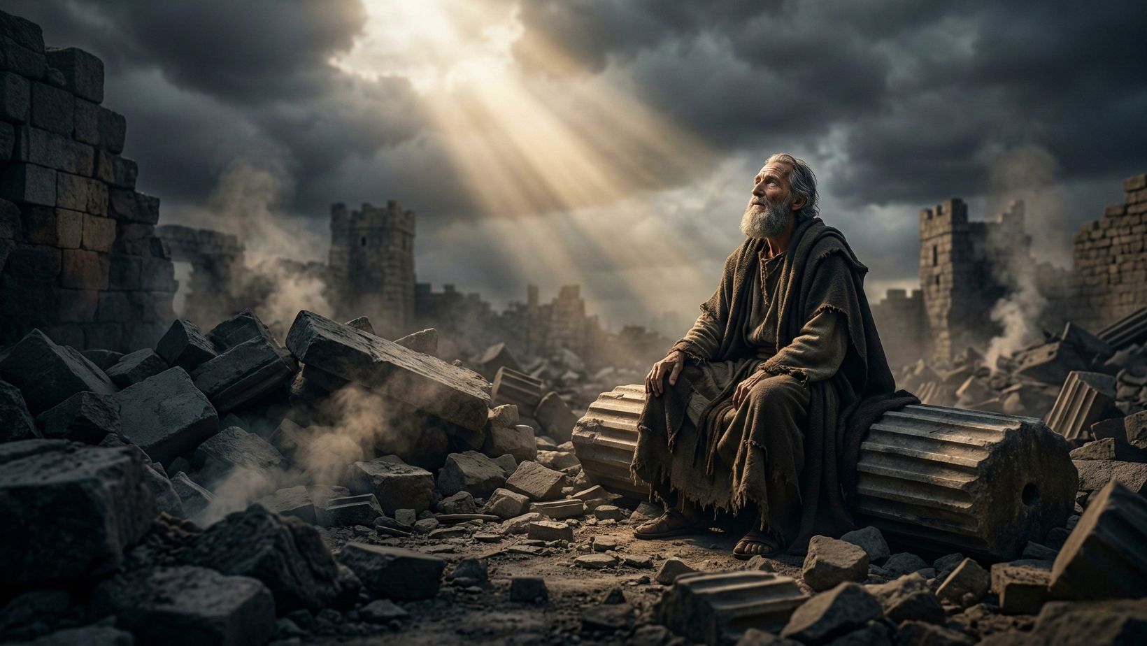
The Rebellion of Mesha: After being a vassal to the Omride dynasty of Israel, Moab rebelled. The combined armies of Israel, Judah, and Edom marched around the Dead Sea to crush the rebellion but were halted after the horrific sacrifice of the Moabite crown prince on the walls of Kir-Hareseth.
Notable Passages
Deuteronomy 34:1: “Then Moses climbed Mount Nebo from the plains of Moab to the top of Pisgah… There the Lord showed him the whole land.”
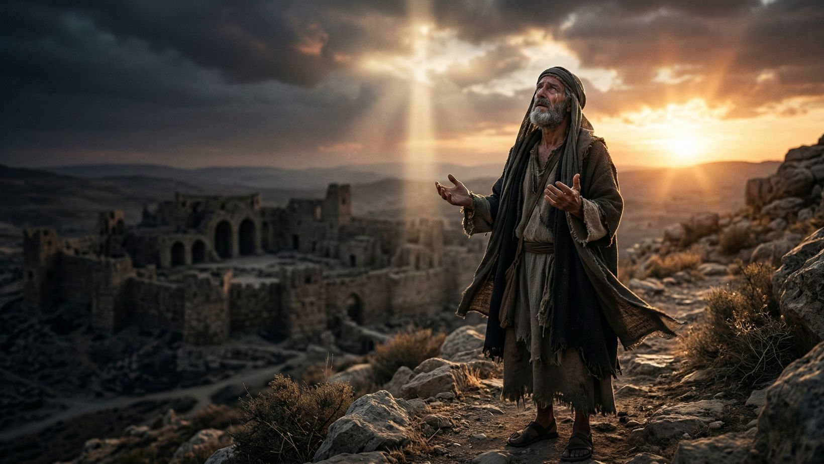
Isaiah 15-16: An oracle against the region, listing its cities by name (Ar, Kir, Heshbon, Elealeh) and describing the weeping that would echo through its canyons during judgment.
Jeremiah 48:28: “Abandon your towns and live in the rocks, you who live in Moab. Be like a dove that makes its nest at the mouth of a cave.”
Legacy & Symbolism
The Washbasin: In Psalm 60:8, God says, “Moab is my washbasin.” This imagery suggests that while Moab was a proud and wealthy region, to God it was merely a vessel for humble service, or perhaps a container for the “dirty water” washed off His holy people.
Pride of Place: The high altitude and seemingly secure borders of Moab became a symbol of carnal security and pride—”Moab has been at rest from his youth” (Jeremiah 48:11).
Archaeological Treasure: The dry climate of the region preserved the Mesha Stele, providing the most detailed extra-biblical account of the wars between Israel and her neighbors in the Iron Age.
Leave a Reply